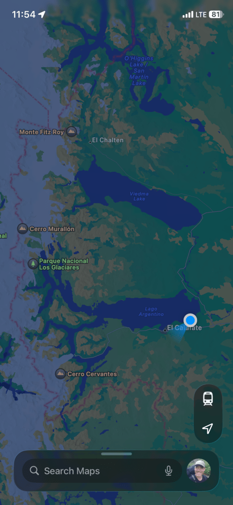
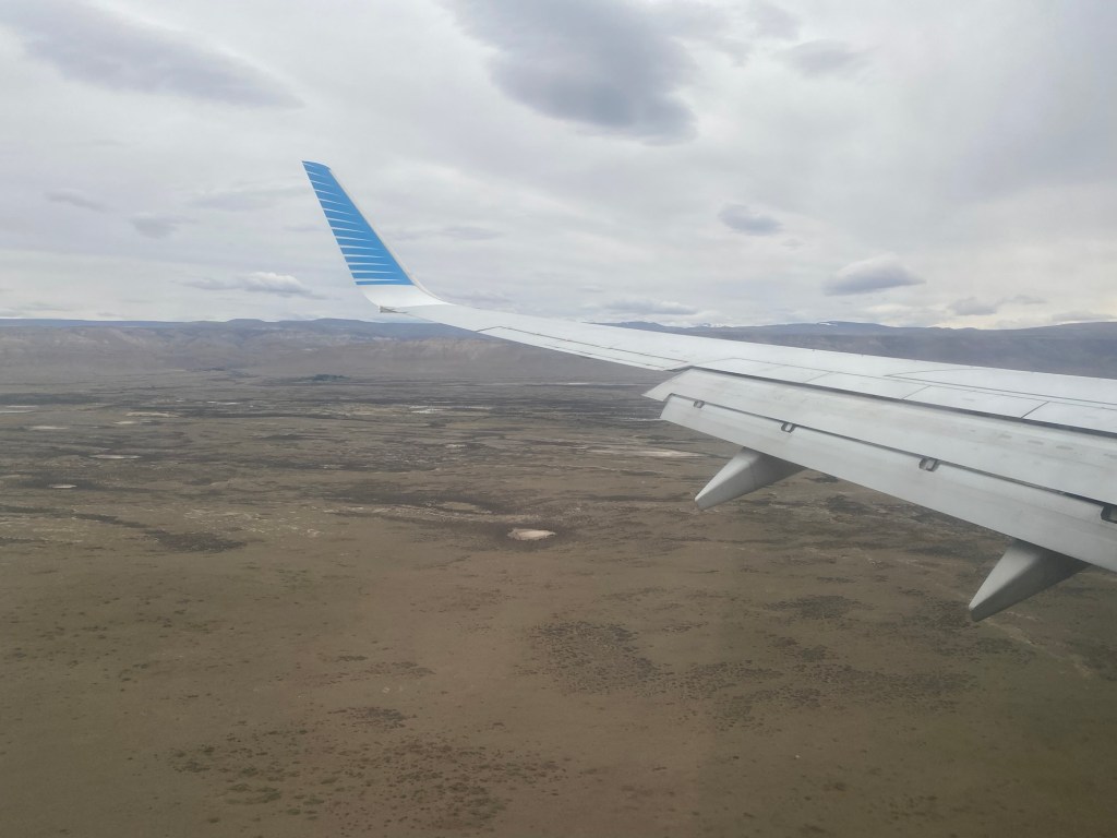
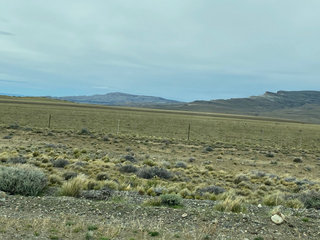
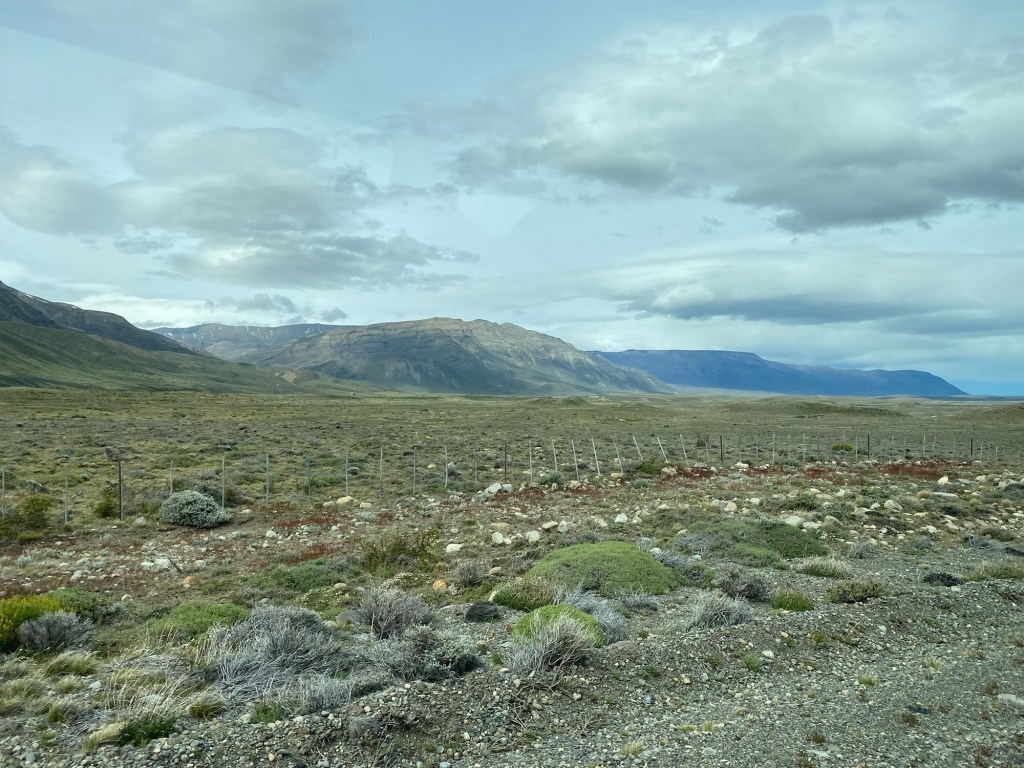
I’ve now been in the Argentinian side of Patagonia for a little over 24 hours. Flying into El Calafate, I was surprised how barren the landscape looked from the air. As we got on the ground it was apparent there were lots of low shrubs but as this part of the country is a technical desert, the barrenness is understandable.
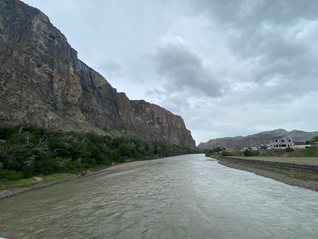
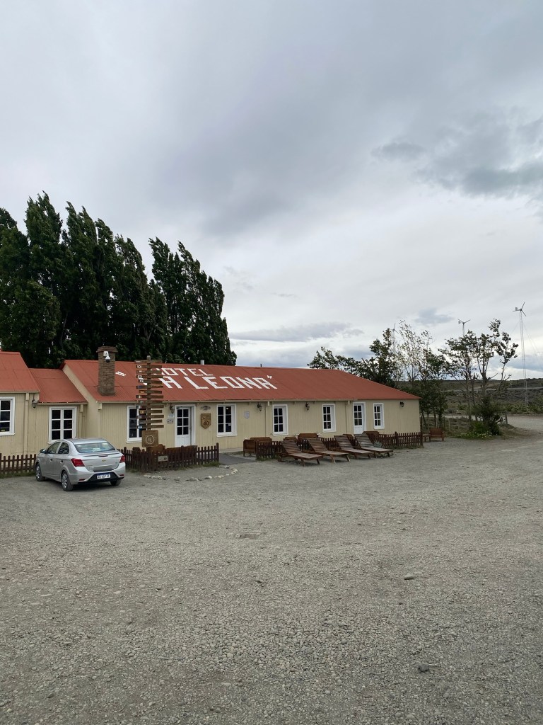
Despite this, the landscape has points of great beauty. After gathering bags we drove around three hours to El Chalten, a small town in the foothills of the Chalten/Fitz Roy Range, known as a site for hiking and climbing. On the way a between these two towns we stopped for lunch at Estancia La Estella, a roadside store with some small exhibits of the significance of this location along the Rio La Leona that went back over its 120 years history.
Unfortunately the drive into El Chalten revealed a lot of low hanging clouds over the mountains that detracted from the visual approach to the valley. These clouds ended up changing the plans for hiking that the group I was with were looking at. Instead of spending our first full day hiking out to a view point of Mount Fitz Roy, the weather turned with strong winds, rain, and even a bit of snow to the point that the Los Glaciares Nacional Parque officials closed off the hiking trails due to the risk. This limited us to a walk along a road to Chorillo del Salto, a waterfall. On arrival we were discouraged from staying longer as the cooling weather had the park officials limiting access even more.
Day two in El Chalten promises improved weather. We will begin a hike to the Fitz Roy lookout around 0700 in order to get finished with enough time to get on the road in daylight for our return to El Calafate.