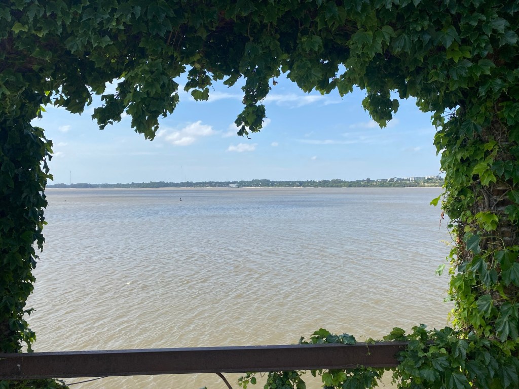
After leaving my G Adventure tour group in Buenos Aires, I took a ferry across the Rio de la Plata to the Uruguayan community of Colonia del Sacramento. I have to be honest that for most of my time on the south coast of Uruguay I thought I was looking at the Atlantic Ocean. It was only when I was on a tour to the most southern tip of Punta del Este, near the end of my week in Uruguay, that I learned from my tour guide that the body of water I had been looking at the Rio de la Plata (although in looking at a map to confirm spelling of names, even the map had “Atlantic Ocean” written just below Punta del Este).
The Rio del Plata plays a strong role in the history of Uruguay as it is a major river that, after the Amazon, is part of the second largest system of rivers in South America that become instrumental in European colonization of the interior of the continent. It also cemented Uruguay as a place of importance to the history of the continent. Colonia del Sacramento was an important piece of this history as one of the first fortified port cities in the area. Originally created by the Portuguese on the penisula where the old city still stands, within fifty years it had been attached multiple times in battles with the Spanish to establish dominance over the headwaters of the Rio de la Plata for control of the inland areas of the central part of the South American continent.
Even a couple centuries later, when the Spanish and Portuguese colonies were seeking independence from the European monarchies in the early part of the 19th century, Uruguay become a location that both Brazil and Argentina fought over. Eventually, from what one guide told me, it was the British who helped settle the dispute by encouraging a “free trade zone” that would allow for trade from the fledgling nations independent of undue influence from the foreign powers that had restriction on with whom and for what they could trade. Thus the Uruguayans were supported to be an independent nation from the two powers on either side of them. The name of the fledgling nation became the “Oriental Republic of Uruguay” as an indication that it was the Spanish speaking republic to the east of the Uruguay River—one of the larger rivers that flows into the Rio de la Plata—causing multiple guides to joke that they were a country without a true name.
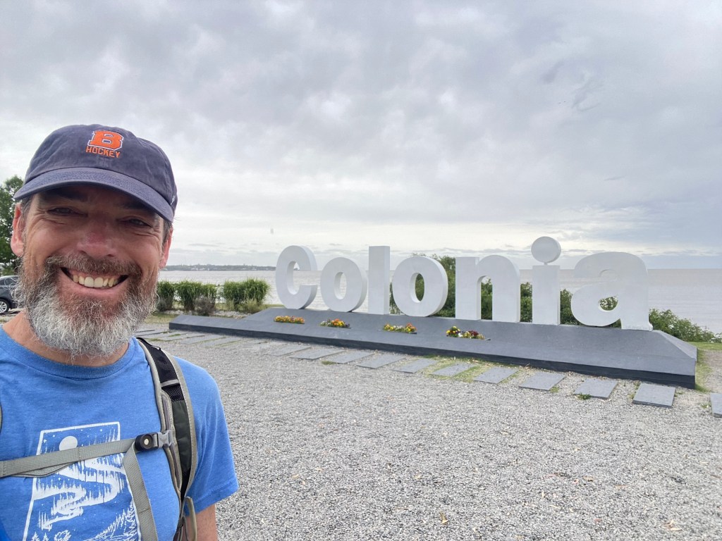
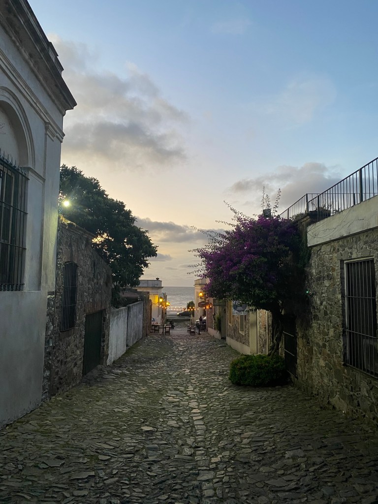
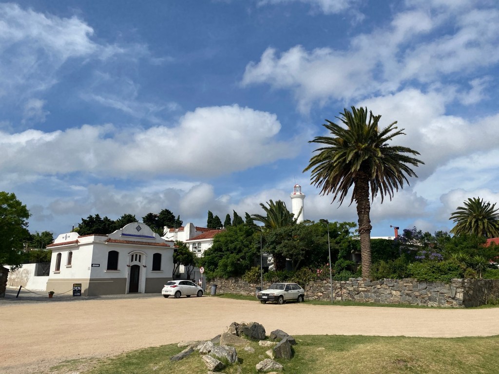
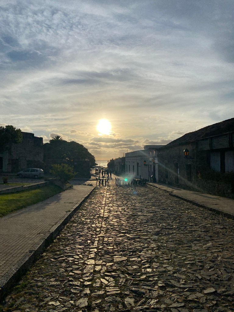
My trip started in Colonia del Sacramento. This was the initial European base on the coast of what would become Uruguay, built by Portugal to balance against the power of the Spanish across the river at what is now Buenos Aires. Although only a small portion of the fortified walls still remain, the older section of Colonia has buildings from various time periods in the small old town. It was interesting to walk through and see the variation and hear of the Street of Sighs (various explanations given to the name, but the most probably was that it served as a red light district for sailors) and see the old cathedral and building bases for the colonial structures on the cobble stone streets.
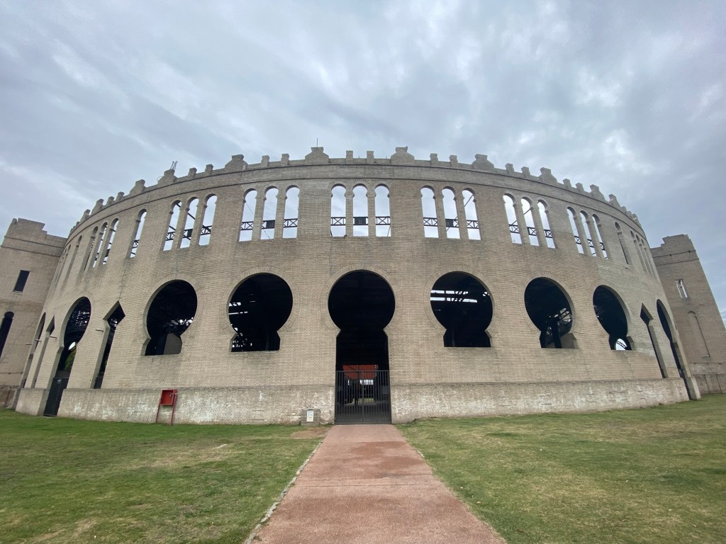
Beyond the old city there was an array of beaches and a sprawling resort type community. Although frequented mostly by day trippers from Argentina and Montevideo, the beaches did attract some for greater time periods who didn’t want to go to other parts of Uruguay for beaches. Also outside of the older section was a bull fighting ring that was being renovated after falling into disrepair after serving its somewhat intended purpose after the initial building in 1910. Unfortunately it was built when bull fighting was no longer legal in Uruguay and so it appeared it was more for pantomimed bull fighting where the bulls would not be harmed.
In heading to the capital of Montevideo a couple hours by bus down the coast, I learned that this bull fighting decision was one of many decisions made by governments in Uruguay that denoted a larger tolerance on social issues. I was told frequently about the openness to gay marriage, transgender people, and the fairly recent legalization of marijuana—although the latter was just for those who could show a legal identification from Uruguay, so no tourist recreational use.
This openness may hide some of the more challenging aspects of Uruguay’s history, including a brutal dictatorship from the 1960s through the early 1980s. I went to a Museum of Memory, as well as to a history museum, where the impact of the dictatorship was talked about. The tour of the city highlighted that, although the total numbers are low, there are still a few hundred people whose disappearance during the dictatorship has yet to be explained. In a country of only three million people, it is apparent that very few people did not have some experience of loss during this military dictatorship.
Montevideo was apparently named for being the sixth hill down the coastal area that Spain was mapping. Our guide told us that the name was from Monte for mountain, VI for six in Roman numerals, and “de est oeste” being Spanish for “from east to west” making the last three letters. As early maps listed the area in this term the name was created.

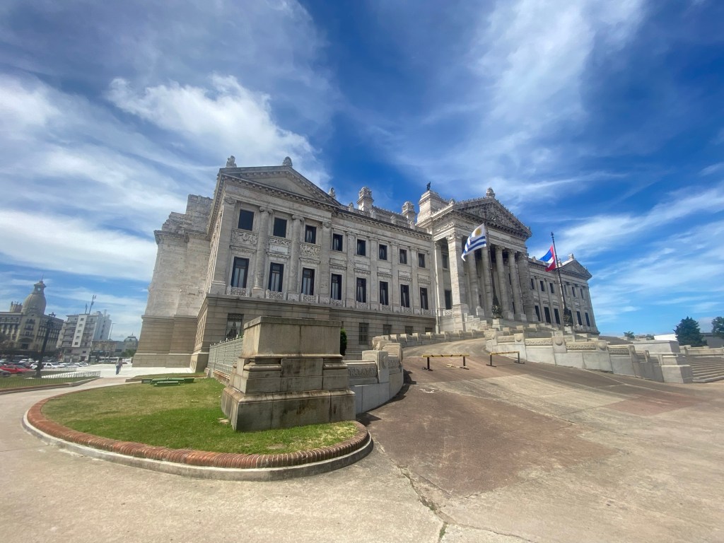
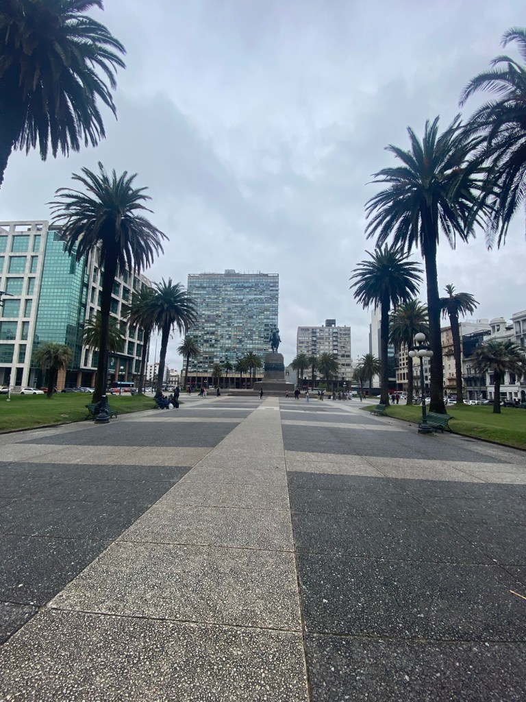
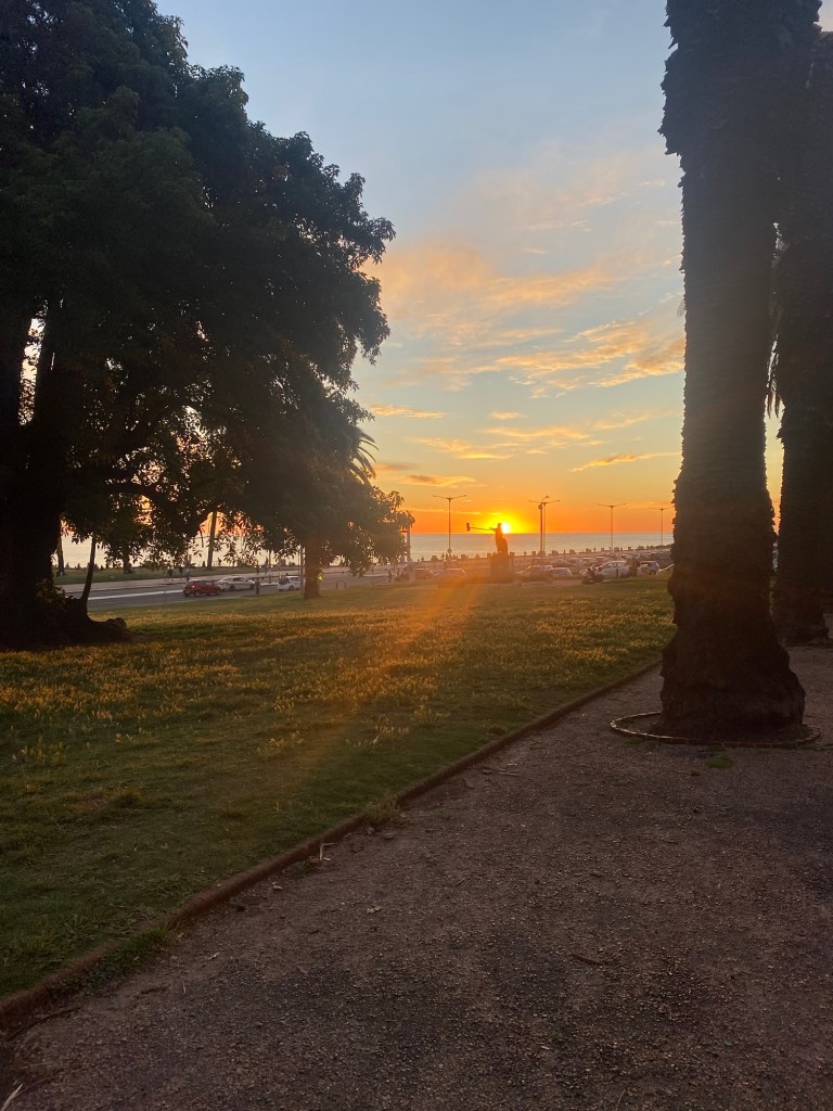
As any major city the capital of Uruguay had a larger city feel and yet retained some smaller town feel. It is surrounded by water on its southern side with a trail running over twenty kilometres that locals can bike, walk or run. A number of beaches dot this path and I found the Playa Ramirez just a quick walk through Parque Rodo for easy access from my hostel, Medio Mundo, to see the sunset or wade in the water (I missed the opportunity to go for a swim here). I slightly longer walk or bus ride to the west would take me to the Ciudad Vieja, or Old City, where the original port of Montevideo and the fortress to guard it was in place. As with Colonia del Sacramento, only the gate of the wall remained as an indication of the openness to trade and to allow for cities to expand as Uruguay sought to establish itself in early years of being a nation. The old city had a number of museums that were interesting to get some history of the city and country in. A museum I was encouraged by multiple people to see was the Museo Andes 1972 which told the harrowing story of the Uruguayan Rugby team and others on a plane that crashed in the Andes in 1972. Sixteen people of the 45 on board survived for 72 days during winter in a remote part of the Andes. The museum had a lot of testimonials and told the history in depth.

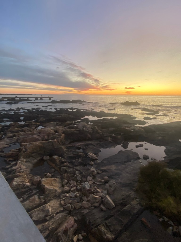
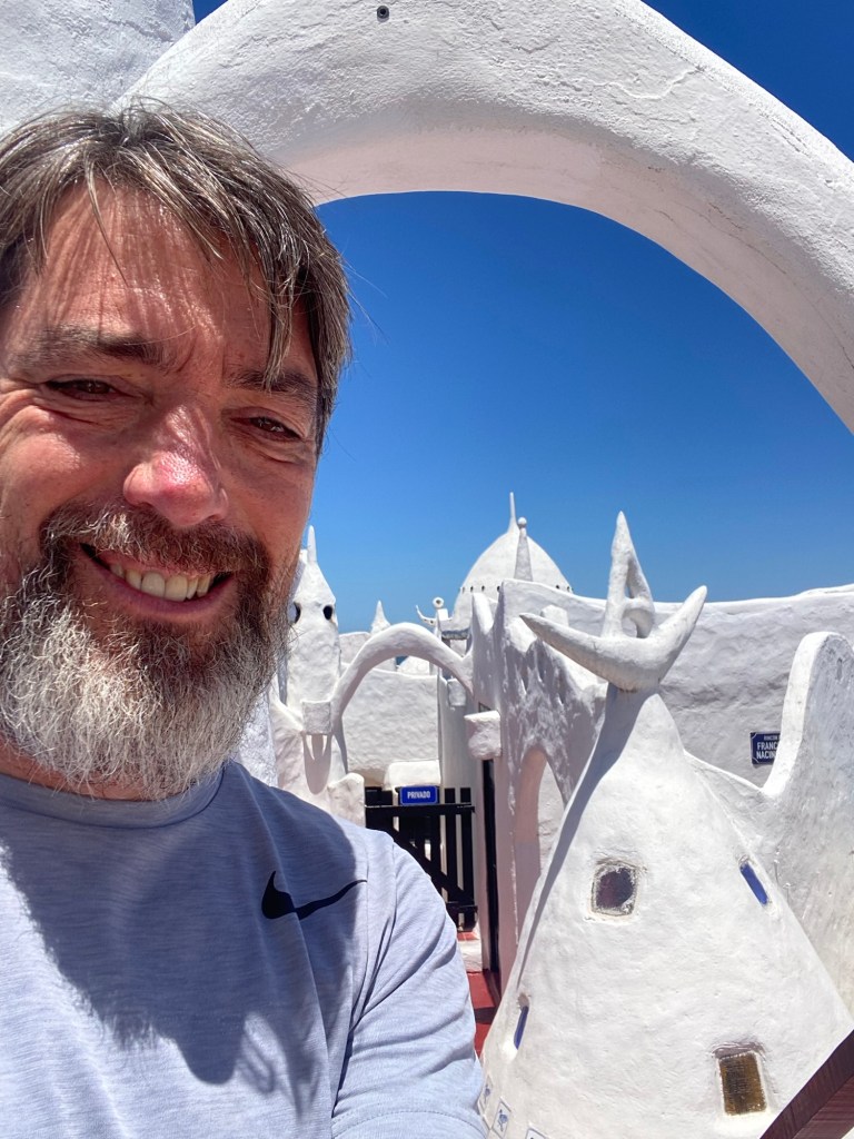
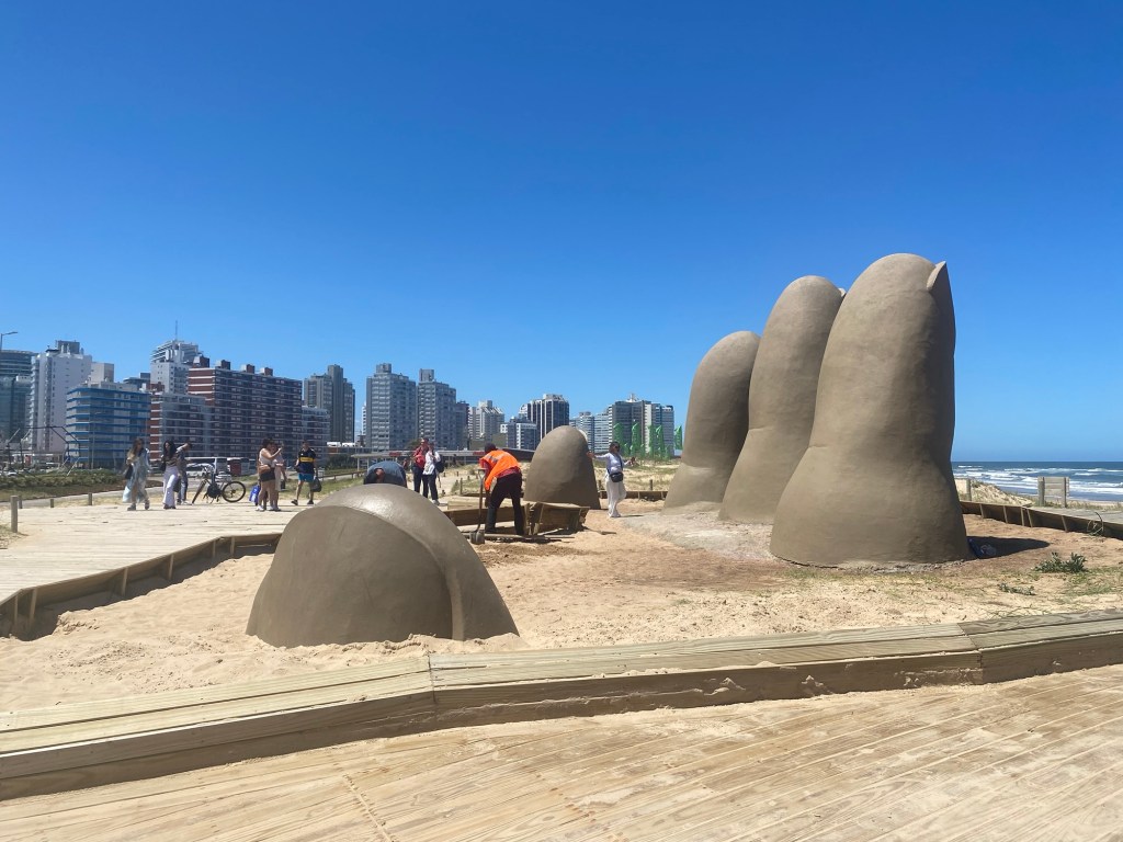
One of the days in Montevideo, I took a day trip with a group to Punta del Este. This is technically the most southern tip of Uruguay and is famous for being the most popular beach holiday destination. We were told that although only about 2000 people live in this community year round around 500,000 people visit each year. You could see the build up of tourist resorts that were trying to take advantage of the long, white sand beaches that ran on both the Rio de la Plata and the Atlantic Ocean side of the city. This visit was the time I realized that the five kilometre wide river was confusing me into thinking I was looking at the ocean since I left Colonia del Sacramento. It was a short but enjoyable visit to see the various sites, including the statue “the fingers of Punta del Este”, a fun statue of four fingers and a thumb that look like they are coming out of the sand on one of the beaches outside of the downtown area of the town.
It was a good visit to a country that I hadn’t known much about. It was good to learn more about it and leave me wanting to come back and see more in the future.