Paraguay

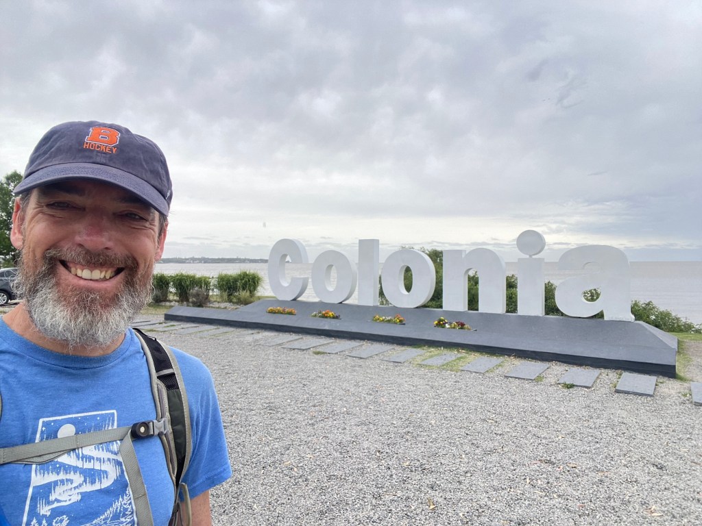
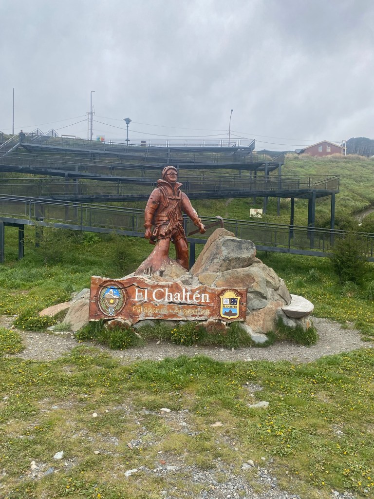
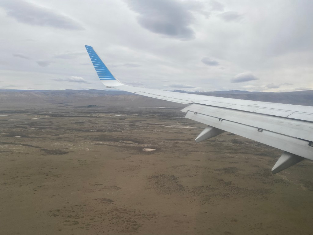
I have to admit that I didn’t do as much research into Paraguay before travelling there as I should have. This likely caused me to not plan as many activities to see the broader part of the country than I did. That being said, it was still a good visit to a place that relatively fewer tourists have been to.

Asuncion Bay looking into the new city.

I say this, but was surprised by how many people I met at my hostel who were trying to get some form of permanent residency in Paraguay in order to facilitate a business opportunity or to take advantage of a lower general tax rate. I met a few mobile workers who were looking to take advantage of this and were trying to navigate the process of becoming a permanent resident despite not particularly seeing themselves living in Paraguay full time.

The Chaco area north of Asuncion

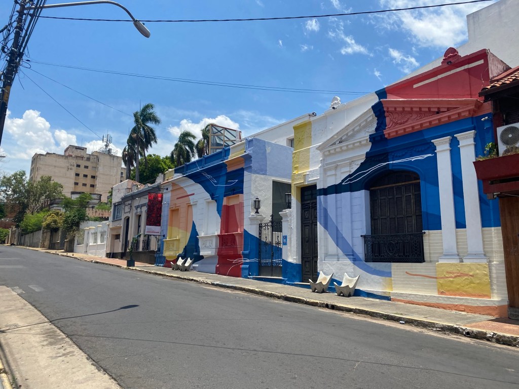
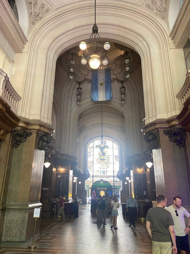
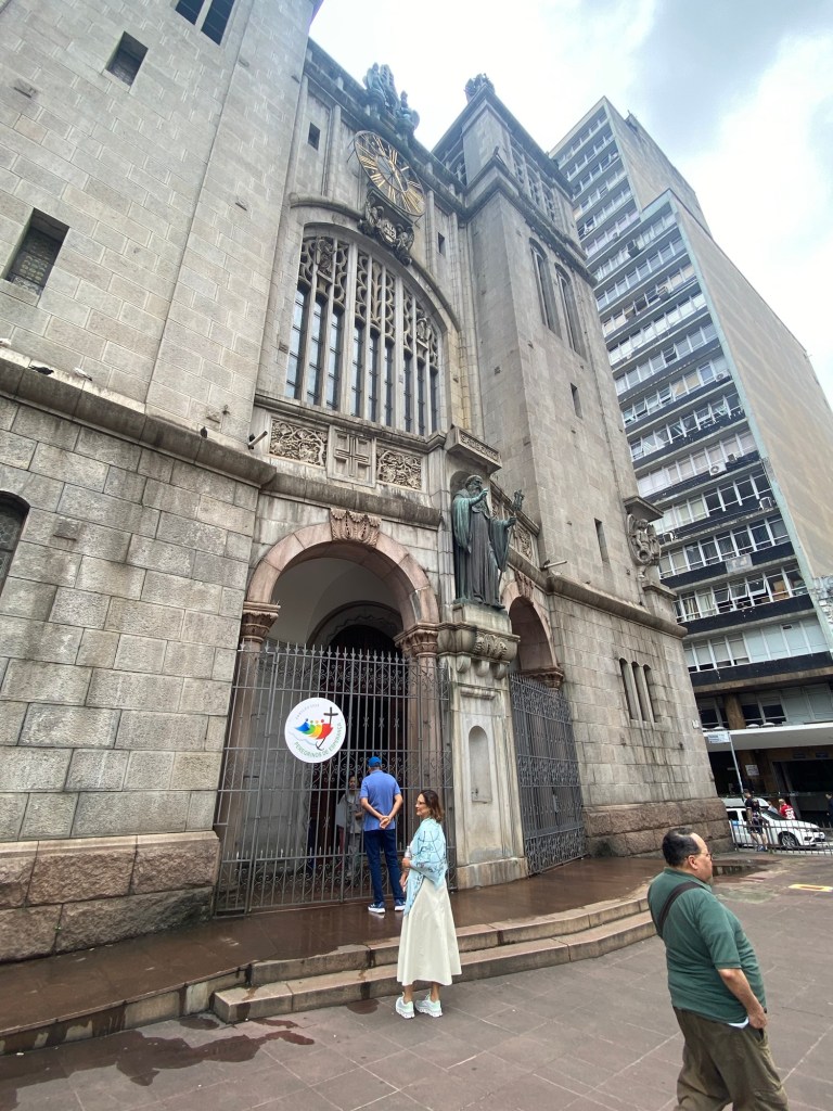
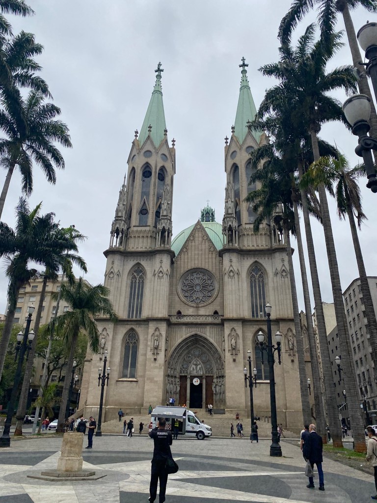
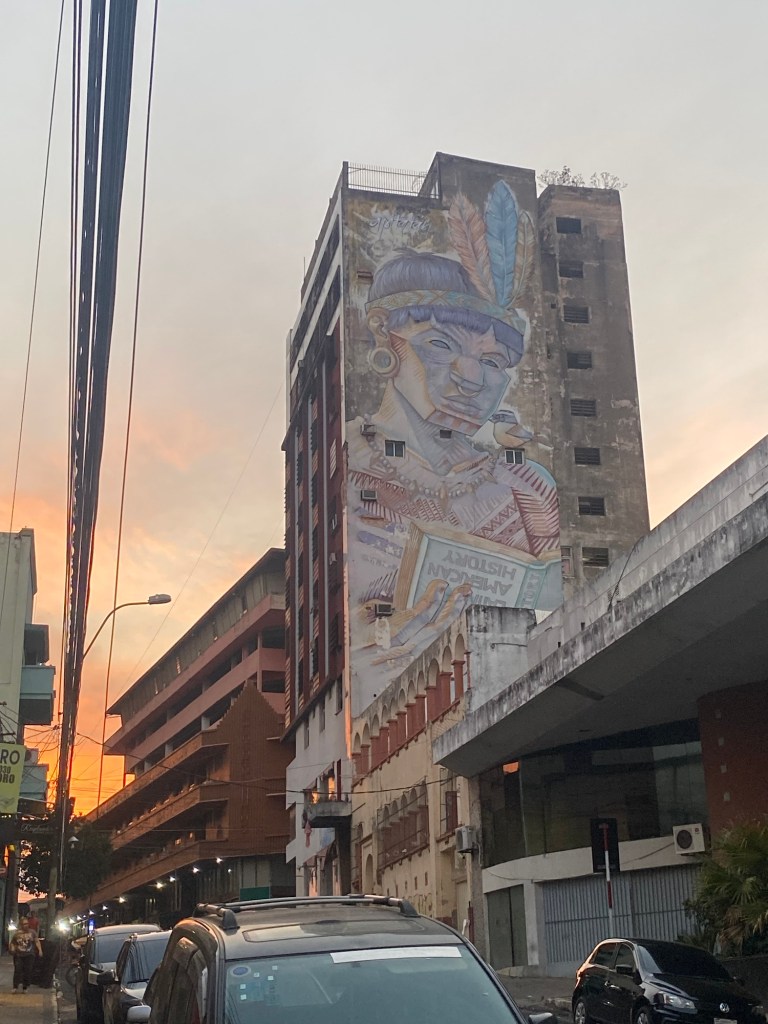
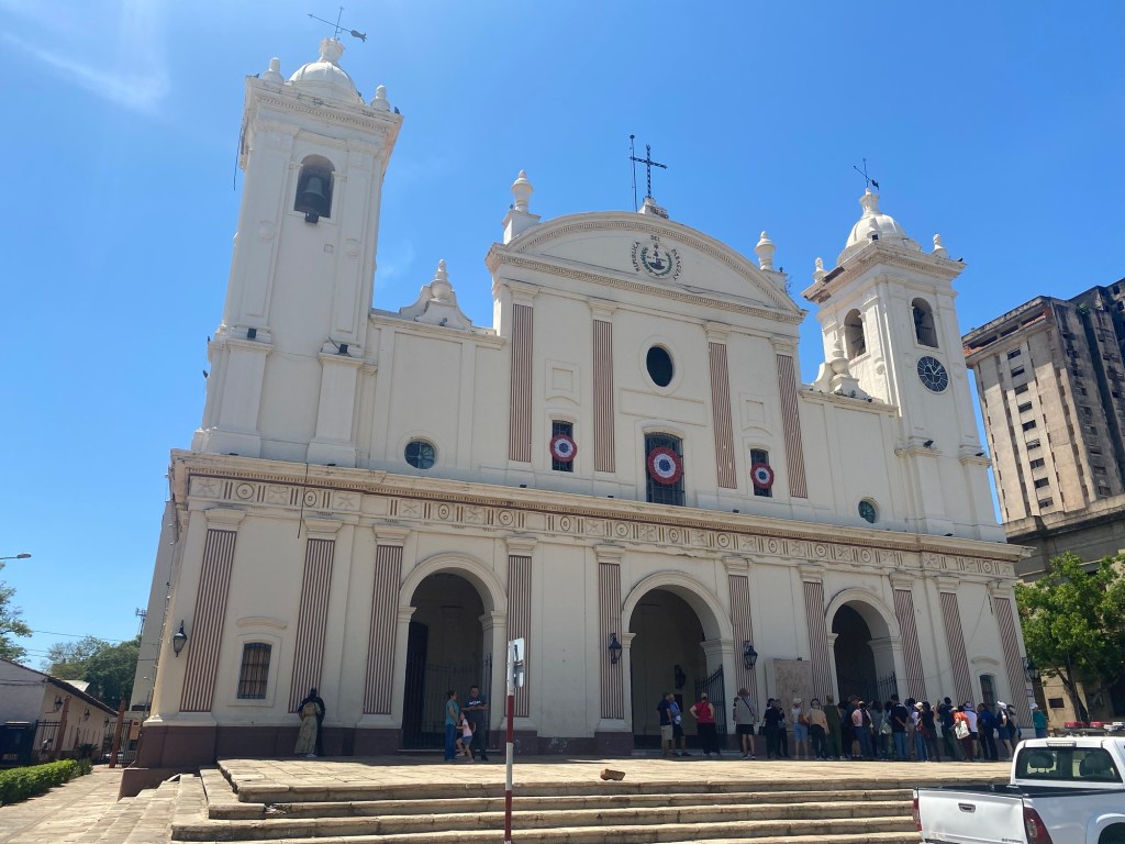
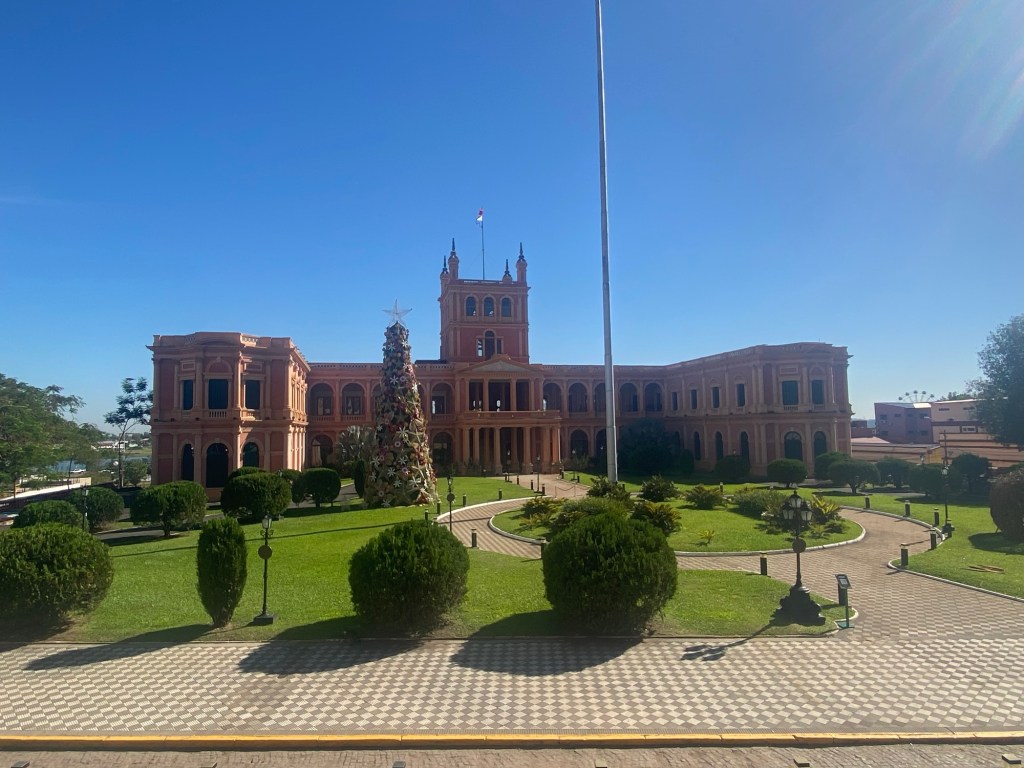
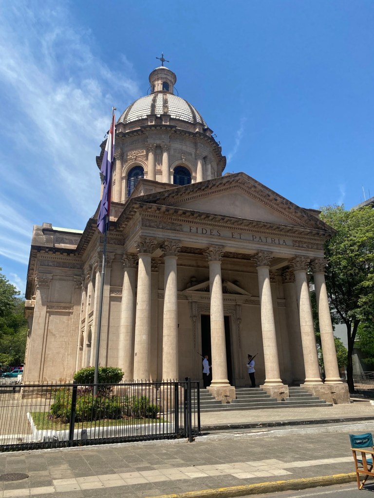
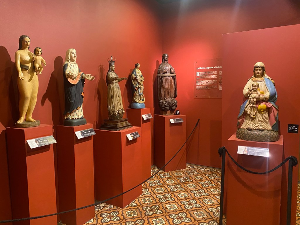
I could tell Paraguay was less well off than some other countries I had visited. Part of this was that I was staying in the old part of the capital, Asuncion, that hadn’t had the same upkeep and so had a run down feel to it. Despite this, people were friendly and willing to help me navigate my lack of Spanish as I visited sites around Asuncion. I started my visit with a free walking tour with a guide who was very positive about his country and did a good job of sharing some of the history and the reasons for how the city was as it was. I did find out that he may have had some bias in his views as I went to various museums afterwards that may have disagreed with some of his takes.

A mural in Asuncion

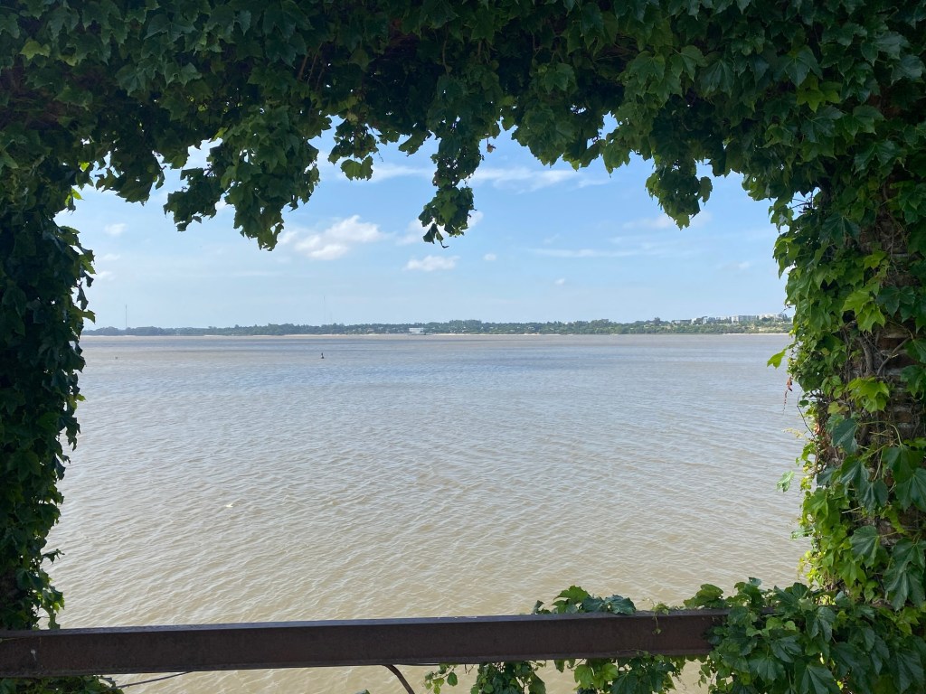
Paraguay was part of the broader Spanish empire and had a fair bit of early investment as the Rio de la Plata—the River that comes out by Uruguay and Buenos Aires—is connected to the rivers that flow upstream to Paraguay. This made Paraguay, and Asuncion in particular, a site of focus to build the development of mines and other resources from the central part of South America and then flow it to the coast down the river. River remain a big part of the Paraguayan identity as my guide noted that the country has the third largest navy in the Continent despite being a land locked country. The policing and support of the river networks that spread across the country remains a big reason for this investment in naval infrastructure.

The Cathedral of Asuncion

When the other South American countries started rebelling against the Spanish Crown in the early 19th century, Paraguay followed suit. The transition occurred relatively quickly to local rule. Part of this was expressed by my guide as having been because there was a lot of intermarriage between the Spanish colonists and the local Guarani 9tribes. This did sound like it was something that may have been at the cost of other Indigenous groups in the area and the Guarani may have had some benefits, but still were a bit of a second class within the country. The transition to local leadership, in part, allowed for the mixed population to have a greater control.

The Presidential Palace in Assuncion

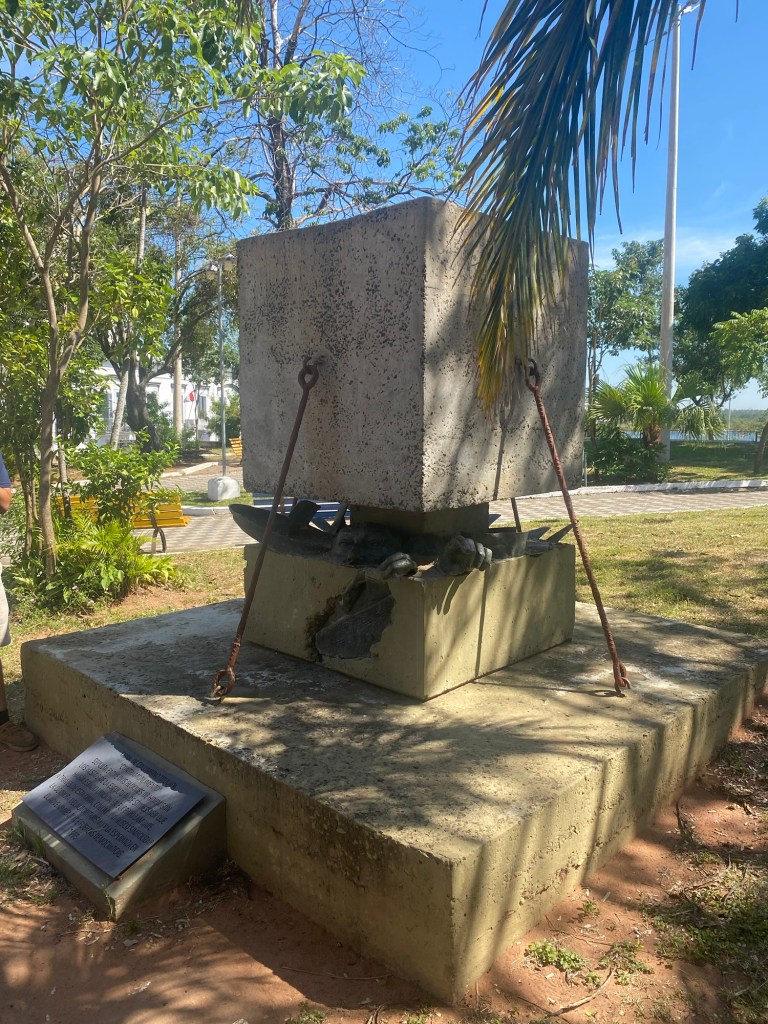
After becoming independent, there were some pressures from other countries to gain land and resources that were in Paraguay. In the 1860s Paraguay came to the defence of Uruguay when Brazil threatened their sovereignty. The thinking was that, if Uruguay could fall to Brazil, then Brazil would definitely look west to the lands that make up Paraguay. Unfortunately a change to a more pro-Brazilian leadership group in Uruguay, caused Paraguay to become the focus of the aggression. This ended up becoming the Triple Alliance War for Paraguay as to their south, Argentina saw this as an opportunity to also join the attacks from Brazil and Uruguay. At the end of the day this was a devastating war for Paraguay. Around fifty percent of the population was killed in the war, including a shocking ninety percent of the male population. The loss of population, control of the rivers, and land led Paraguay to economic challenges that still have some impact in the country.

Pantheon of the National Heroes

The loss of male population also led to a strong interest in outside immigration to make up for the loss. A large scale immigration from many part of Europe, but also from other parts of the Spanish America countries, means that there is a very mixed population across the country today. Of particular interest to me was the number of Mennonite communities. My driver who took me across the southern part of Paraguay to Iguaza Falls pointed this out, indicating that most of the Agriculture was being driven by the strong Mennonite population that settling in large sections of southern Paraguay.

Sunset over Asuncion harbor

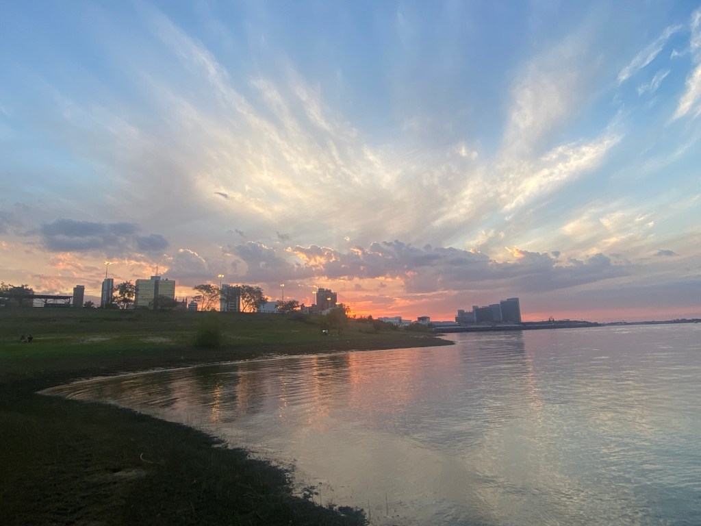
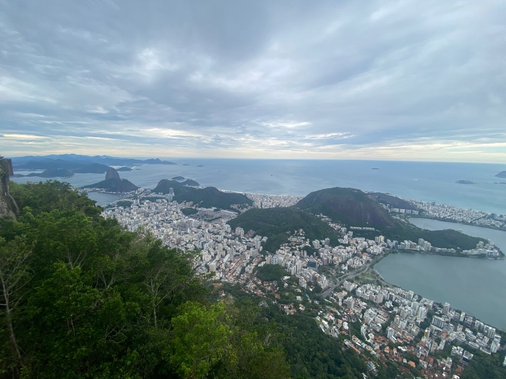
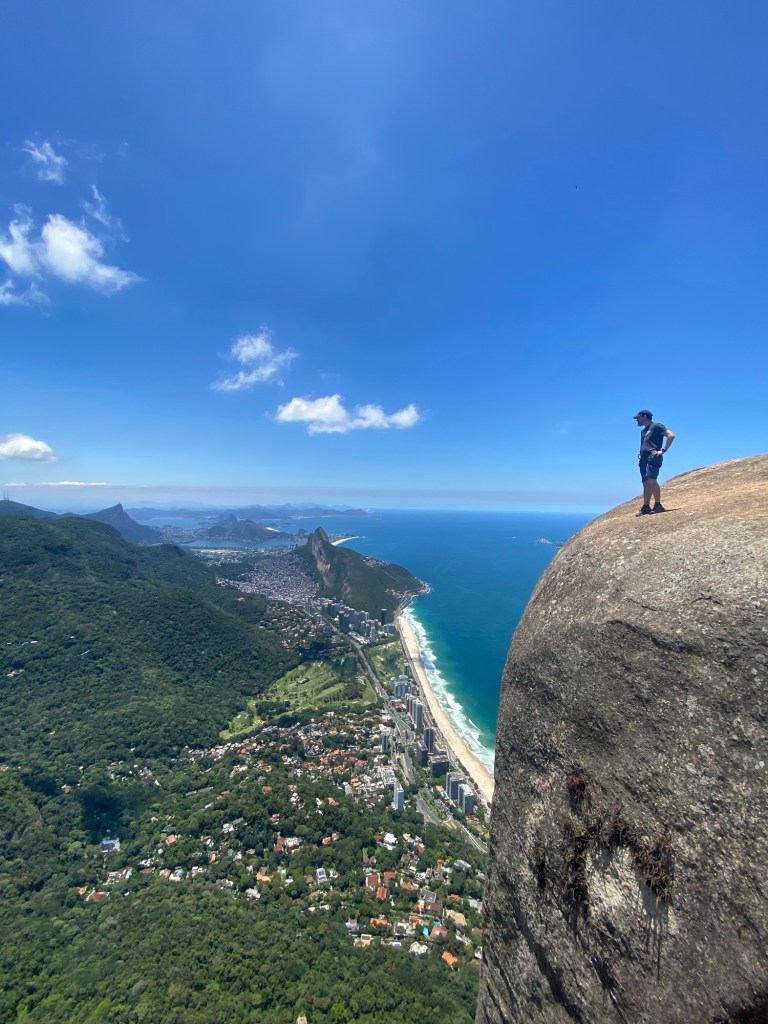
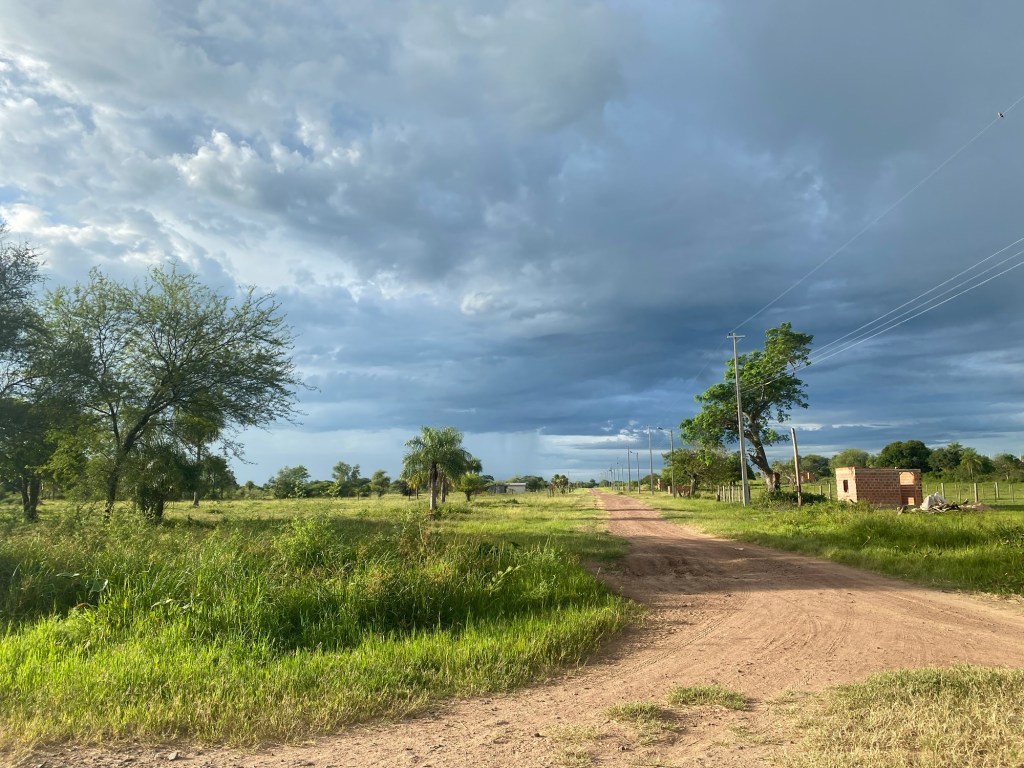
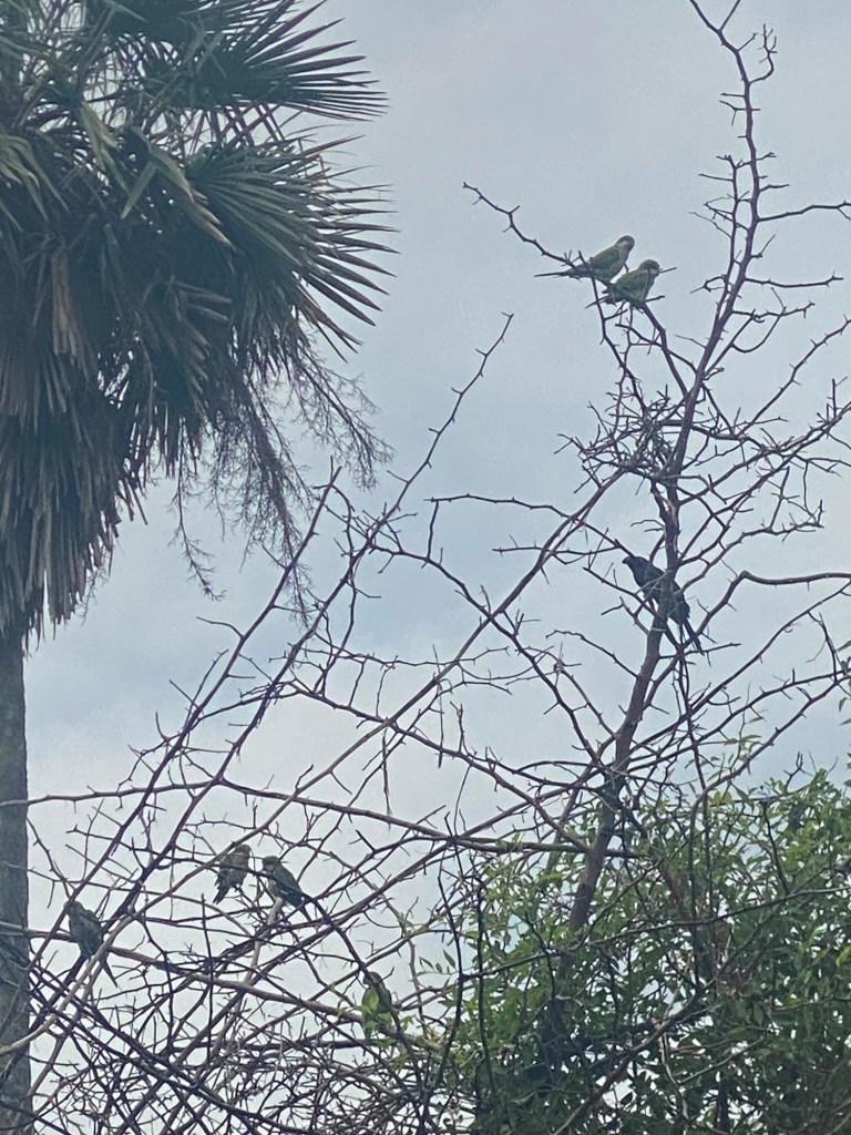
I took some time to visit the wet Chaco as the country was divided into the southern farmland areas and the Chaco that makes up two-thirds of the country. It goes from being a wetlands area with lots of birds and wildlife to being a dry Chaco as you get to the north. This meant that most of the population—I believe 80%—are in the lower third of the country with the arable land. Asuncion has around 40% of the countries population and is significantly bigger than any other city.

Some of the birds seen in the wet Chaco

On my drive to Iguaza, I also got to see a large number of pilgrims doing an annual pilgrimage to Caacupe. All along the highway on both sides of this smaller city there were people walking to offer thanks or to make a request of the Virgin of Caacupe. It was an impressive site to see how large the draw of this was.

Part of the collection of Virgin Mary sculptures at the Religious Art Museum in Asuncion

Just before heading to the airport I had time to visit the museum of memory. I had tried to get to this earlier but it had been closed for the weekend and then for the holiday Monday. It was a worthwhile visit to see the impact of the dictatorship of Alfredo Stroessner from 1954 to 1989. He was one of the longest serving dictators in the Americas (I think only Fidel Castro was longer if I understood my guide) and had a very repressive regime. The library looked at the history of this period and the number of people impacted by the horrors of the dictatorship.

Art sculpture in Asuncion square made from pieces of President Stroessner sculpture after the end of his dictatorship

Overall, I enjoyed Paraguay. It likely helped that my hostel had a pool that allowed me to cool off after being out in the near 30 degree Celsius weather. But the people were friendly and it felt enjoyable to explore Asuncion and the parts of the rest of the country that I had time to see.

Cultural centre in old city of Asuncion

The Oriental Republic of Uruguay

After leaving my G Adventure tour group in Buenos Aires, I took a ferry across the Rio de la Plata to the Uruguayan community of Colonia del Sacramento. I have to be honest that for most of my time on the south coast of Uruguay I thought I was looking at the Atlantic Ocean. It was only when I was on a tour to the most southern tip of Punta del Este, near the end of my week in Uruguay, that I learned from my tour guide that the body of water I had been looking at the Rio de la Plata (although in looking at a map to confirm spelling of names, even the map had “Atlantic Ocean” written just below Punta del Este).

Rio de la Plata from the former barracks of Colonia del Sacramento

The Rio del Plata plays a strong role in the history of Uruguay as it is a major river that, after the Amazon, is part of the second largest system of rivers in South America that become instrumental in European colonization of the interior of the continent. It also cemented Uruguay as a place of importance to the history of the continent. Colonia del Sacramento was an important piece of this history as one of the first fortified port cities in the area. Originally created by the Portuguese on the penisula where the old city still stands, within fifty years it had been attached multiple times in battles with the Spanish to establish dominance over the headwaters of the Rio de la Plata for control of the inland areas of the central part of the South American continent.

A street in Colonia
View on the old city in Colonia del Sacramento

Even a couple centuries later, when the Spanish and Portuguese colonies were seeking independence from the European monarchies in the early part of the 19th century, Uruguay become a location that both Brazil and Argentina fought over. Eventually, from what one guide told me, it was the British who helped settle the dispute by encouraging a “free trade zone” that would allow for trade from the fledgling nations independent of undue influence from the foreign powers that had restriction on with whom and for what they could trade. Thus the Uruguayans were supported to be an independent nation from the two powers on either side of them. The name of the fledgling nation became the “Oriental Republic of Uruguay” as an indication that it was the Spanish speaking republic to the east of the Uruguay River—one of the larger rivers that flows into the Rio de la Plata—causing multiple guides to joke that they were a country without a true name.

My trip started in Colonia del Sacramento. This was the initial European base on the coast of what would become Uruguay, built by Portugal to balance against the power of the Spanish across the river at what is now Buenos Aires. Although only a small portion of the fortified walls still remain, the older section of Colonia has buildings from various time periods in the small old town. It was interesting to walk through and see the variation and hear of the Street of Sighs (various explanations given to the name, but the most probably was that it served as a red light district for sailors) and see the old cathedral and building bases for the colonial structures on the cobble stone streets.

Sunset in Colonia

Beyond the old city there was an array of beaches and a sprawling resort type community. Although frequented mostly by day trippers from Argentina and Montevideo, the beaches did attract some for greater time periods who didn’t want to go to other parts of Uruguay for beaches. Also outside of the older section was a bull fighting ring that was being renovated after falling into disrepair after serving its somewhat intended purpose after the initial building in 1910. Unfortunately it was built when bull fighting was no longer legal in Uruguay and so it appeared it was more for pantomimed bull fighting where the bulls would not be harmed.

Bullfighting arena in Colonia.

In heading to the capital of Montevideo a couple hours by bus down the coast, I learned that this bull fighting decision was one of many decisions made by governments in Uruguay that denoted a larger tolerance on social issues. I was told frequently about the openness to gay marriage, transgender people, and the fairly recent legalization of marijuana—although the latter was just for those who could show a legal identification from Uruguay, so no tourist recreational use.

Uruguayan Parliament
Constitution Plaza in Montevideo

This openness may hide some of the more challenging aspects of Uruguay’s history, including a brutal dictatorship from the 1960s through the early 1980s. I went to a Museum of Memory, as well as to a history museum, where the impact of the dictatorship was talked about. The tour of the city highlighted that, although the total numbers are low, there are still a few hundred people whose disappearance during the dictatorship has yet to be explained. In a country of only three million people, it is apparent that very few people did not have some experience of loss during this military dictatorship.

Playa Ramirez at sunset.

Montevideo was apparently named for being the sixth hill down the coastal area that Spain was mapping. Our guide told us that the name was from Monte for mountain, VI for six in Roman numerals, and “de est oeste” being Spanish for “from east to west” making the last three letters. As early maps listed the area in this term the name was created.

Teatro Solis in Montevideo

As any major city the capital of Uruguay had a larger city feel and yet retained some smaller town feel. It is surrounded by water on its southern side with a trail running over twenty kilometres that locals can bike, walk or run. A number of beaches dot this path and I found the Playa Ramirez just a quick walk through Parque Rodo for easy access from my hostel, Medio Mundo, to see the sunset or wade in the water (I missed the opportunity to go for a swim here). I slightly longer walk or bus ride to the west would take me to the Ciudad Vieja, or Old City, where the original port of Montevideo and the fortress to guard it was in place. As with Colonia del Sacramento, only the gate of the wall remained as an indication of the openness to trade and to allow for cities to expand as Uruguay sought to establish itself in early years of being a nation. The old city had a number of museums that were interesting to get some history of the city and country in. A museum I was encouraged by multiple people to see was the Museo Andes 1972 which told the harrowing story of the Uruguayan Rugby team and others on a plane that crashed in the Andes in 1972. Sixteen people of the 45 on board survived for 72 days during winter in a remote part of the Andes. The museum had a lot of testimonials and told the history in depth.

El Cabildo off of Constitution Square

One of the days in Montevideo, I took a day trip with a group to Punta del Este. This is technically the most southern tip of Uruguay and is famous for being the most popular beach holiday destination. We were told that although only about 2000 people live in this community year round around 500,000 people visit each year. You could see the build up of tourist resorts that were trying to take advantage of the long, white sand beaches that ran on both the Rio de la Plata and the Atlantic Ocean side of the city. This visit was the time I realized that the five kilometre wide river was confusing me into thinking I was looking at the ocean since I left Colonia del Sacramento. It was a short but enjoyable visit to see the various sites, including the statue “the fingers of Punta del Este”, a fun statue of four fingers and a thumb that look like they are coming out of the sand on one of the beaches outside of the downtown area of the town.

Casapueblo—an artist built house/hotel/art gallery on the coast in Uruguay
The fingers of Punta del Este

It was a good visit to a country that I hadn’t known much about. It was good to learn more about it and leave me wanting to come back and see more in the future.

Sunset over coast in Montevideo

At The End of the World

The last main stop of our tour was Ushuaia, known for being the most southern city in the world. On the island of Tierra del Fuego across the Magellan strait from the rest of the continent of South America, Ushuaia has a coastal feel with a bit of a tourist hotspot feel. This is likely because it has become a focal point for people wanting to get to the “end of the world”—as all the signs say in the city—and beyond to Antartica.

The “Fin del Mundo” or “End of the world’ sign on the Ushuaia waterfront

I went to the Tierra del Fuego National Park and hiked some of the trails at the southern edge of the non-restricted area of the park. Wet and cool weather had closed some of the other trails, but we got a good opportunity to see some of the coastal views, as well as some of the inland lagoons and rivers that make up the park. Circled by mountains it was a very scenic place to visit. We ended the day at the Park Offices which had a nice gift store, a small museum about the park, and a cafeteria that had some of the best empanadas I tasted on my trip.

Trailhead in Tierra del Fuego National Park
Viewpoint in Tierra del Fuego National Park

My second full day in Ushuaia I took a boat ride through part of the Beagle Channel. The whole channel runs around 200 kilometres separating Tierra del Fuego from some of the southern islands of South America. Although they often have both a three- or a six-hour boat tour, the longer one that would go to an island where penguins live was not available due to stormy seas. Our tour went as far as Les Eclaireurs Lighthouse, one of the most southern lighthouses in the world which is on the eponymous island in the middle of the Beagle Channel. At the same time as seeing the lighthouse the islands around had a number of sea lions on them. The catamaran was able to get close to the one island in order to allow us to see the colony of lions up close as they lazed in the sunny rocks. Our return trip was a bit rougher due to a head wind but it was still enjoyable to see a bit more of the scenery outside of Ushuaia.

Lighthouse with sea lion on edge of island
Sea Lion colony

We finished our time with a group supper of the tour group that had travelled around Patagonia. The End of the World tour with G Adventures was definitely a worthwhile experience.

Ushuaia from the air as we flew out.

Torres del Paine

The images of the perpendicular peaks of Torres del Paine were a major draw for choosing to come on this Patagonia tour. I liked that we got to go to multiple locations for hiking and sightseeing across Patagonia, but in the back of my mind was the experience of seeing the image of those peaks that I had seen so often in pictures.

The tour I was on was doing an abbreviated W-trek with three of the four “legs” being done as part of the tour. We drove from El Calafate across the Chilean-Argentinian border to Puerto Natales, a large coastal town that had a lot of restaurants and stores and was the gateway to the Torres del Paine National Park.

Flying sculpture on Puerto Natales waterfront.

After one last night in the hotel we headed off for two nights of camping and three days of hiking.

Horns of Torres Del Paine

Day one was the experience of seeing the iconic Torres del Paine peaks. The hike was about 20 kilometres there and back from the Visitor Centre. There was a short section of flat land down the valley before we started to climb, first through a forested area, but then through rocky terrain in the top half. Winds came on strong as we got to the more open areas, but the gradual climb made the hike feel easier than what we had experienced in El Chalten. At the top we rounded a corner and the vision of the Torres del Paine peaks and the deep blue mountain lake presented itself. Although it was a busy place with many other groups also coming up it was good to spend some time seeing this amazing site of Torres Del Paine.

The second day had us bused to Lake Pehoe so we could take a catamaran across to the main camping site at Paine Grande. We dropped our large bags off at the visitor centre and set up for another 20 kilometres hike up the middle section of the W to the Mirador Francais or French Lookout. This trail had some more technical parts where we were walking across small rivers and some steeper sections, but it was very manageable. The view from the lookout was a near 360 degree view of a glacier with views of the backside of the Torres del Paine mountain back at the valley we climbed from with the large mountain lakes and other mountains of the park extending outwards.

Paine mountains from catamaran on Lake Pehoe
glacier and river view from French Lookout
view back to Skottsburg Lake from French Lookout

The last day of hiking in the Torres Del Paine Park was to a lookout over Grey Glacier. This was a partial day as we were catching the catamaran and bus back to Puerto Natales just after noon. We hiked the five and a half kilometres to the lookout while facing some strong gusts of wind that occasionally knocked us off balance. The view was wonderful of the glacier and the valley spreading out. It was very fulfilling to have had these three days of hiking in this iconic park.

Grey Glacier Lookout

Moreno Glacier

We had two nights in El Calafate. After the first night we were up early again for a drive to the Pedito Moreno Glacier.

Roadside view point of Moreno Glacier

The site was about an hour and a half down a peninsula from El Calafate. It was named for the Argentinian Explorer who had been instrumental in navigating the Andes in Patagonia and naming many of the peaks. His work helped determine where the border between Chile and Argentina ended up. Ironically he never did see the Glacier that bears his name despite his time in the area.

We were dropped off at a visitors centre just above a number of walking paths with viewing platforms in front of the glacier. Very quickly walking towards the platforms the views of Pedito Moreno Glacier spread out before me. For the next four hours, I wandered the paths and read the signage about the glaciers. We had a guide who provided some background to this glaciers that, until the last decade, had for a long time been a steady state glacier. We would learn that the same glaciers we would see in Chile a few days later and the Moreno glacier were all connected by the ice shelf in the Patagonian Andes. This is the second largest ice field in the continent. At its widest the Moreno Glaciers was five kilometres across and had a depth up 40-70 meters at its front. For over five kilometres it wides through the Argentinian mountains to this shared ice shelf.

Bluish ice shone across the Glacier and a number of calved icebergs floated in the lake in front of the glacier that curled on both sides of the peninsula. An ice bridge had at one point crossed over to the peninsula from calved icebergs that the water flow between the two sides of the lake. This had collapsed over a decade ago but remnants of the ice remained.

Calved ice floating in Lago Argentina

Walking around and seeing the glacier from various angles was well worth it and it was definitely one of the highlights of the tour.

El Chalten

Our hike to see the Fitz Roy peaks outside of El Chalten was delayed by one day due to the weather. Wind and rain kept the Glacier National Park in Argentina closed on November 18th. Although by midday the sun was starting to peak through clouds and the rain had largely stopped, the park remained closed to traffic due to the risks.

I went with some people from my G Adventures tour group to the Chorillo del Salto Waterfall as you could walk to this by way of a road and avoid going into the park until the waterfall. The road was gravel and followed the River. At numerous places it was washed out and covered with water. This meant that my shoes got a bit wet dodging the puddles and streams. About three kilometres outside of El Chalten the parking lot of the waterfall came into view. As I approached the view through the forest I saw a ranger in front of me. She hurriedly was telling people to turn around as the park was closed. As a result I got a short video of the waterfall with a few strangers in front of it, but followed directions and turned around. The rest of the day was a relaxing time in the hotel reading and catching up on video editing.

November 19th came with the good news that the weather had broken and the Park would reopen. As the tour group needed to be in El Calafate that night, we started early getting a view of Fitz Roy Mountain on the same road I had walked to the waterfall on but further on. The path was going to lead us through the park from one side, then up to the viewing area of the peaks and mountain lakes, before returning towards El Chalten. It was said to be a 23 kilometre hike that would take us most of the day.

Road side on the way to start hike to Fitz Roy viewpoint.

By 0700 we were starting our walk in the morning sunshine. The path was muddy after the previous days storm but had a regular view of glaciers and the peaks that make El Chalten famous. A couple of hours in we started through a forest that was climbing towards the viewing area. It was nice to stop in the mountain streams and be able to drink from them. Clear blue water flowed and our guides expressed that Patagonia didn’t have the microbial issues that other ranges had. The climb up was steep and made more difficult by mud and snow that remained following the storm. Despite this it was a good climb that took a couple hours up through the rocky slopes to where a small ridge looked over the first of the two lakes that we would see and the Mt. Fitzroy and other peaks surrounding. It was surreal to be that close to the images that I had only see in pictures before.

Stream below Fitz Roy and climb to viewpoint.

After a short lunch, we walked down to the first lake and then up another small rise to have a view of the second stunningly blue glacier fed lake directly under Fitz Roy. It was a great sense to see this so close. I could have stayed gazing at the beauty for quite a while, but we did need to get back to catch our bus.

Laguna Sucia at Fitz Roy viewpoint.

The return trip was challenging with the melting snow and steep terrain, but we made it down. The majority of the lower valleys were waterlogged and we were dogging large muddy areas and water pooled over the trail throughout the afternoon.

After a quick burger and beer to celebrate this first hike in Patagonia, we were on the road again to our hotel in El Calafate.

View south of El Chalten

Initial views of Patagonia

I’ve now been in the Argentinian side of Patagonia for a little over 24 hours. Flying into El Calafate, I was surprised how barren the landscape looked from the air. As we got on the ground it was apparent there were lots of low shrubs but as this part of the country is a technical desert, the barrenness is understandable.

From the air on approach to El Calafate

Despite this, the landscape has points of great beauty. After gathering bags we drove around three hours to El Chalten, a small town in the foothills of the Chalten/Fitz Roy Range, known as a site for hiking and climbing. On the way a between these two towns we stopped for lunch at Estancia La Estella, a roadside store with some small exhibits of the significance of this location along the Rio La Leona that went back over its 120 years history.

The Roadside between El Calafate and El Chalten.
Estancia La Estella

Unfortunately the drive into El Chalten revealed a lot of low hanging clouds over the mountains that detracted from the visual approach to the valley. These clouds ended up changing the plans for hiking that the group I was with were looking at. Instead of spending our first full day hiking out to a view point of Mount Fitz Roy, the weather turned with strong winds, rain, and even a bit of snow to the point that the Los Glaciares Nacional Parque officials closed off the hiking trails due to the risk. This limited us to a walk along a road to Chorillo del Salto, a waterfall. On arrival we were discouraged from staying longer as the cooling weather had the park officials limiting access even more.

Day two in El Chalten promises improved weather. We will begin a hike to the Fitz Roy lookout around 0700 in order to get finished with enough time to get on the road in daylight for our return to El Calafate.

Google Maps Pictures of travel area.
El Chalten and Paredon cliff face across Rio des Vueltas.

Buenos Aires

I came to Argentina as I am joining a hiking tour to Patagonia. But first I wanted to explore the capital of Buenos Aires.

In wandering the city, I had the feeling of being in a European city. Lots of wide streets, imposing buildings, and parks with monuments spread through the city. My first day I joined a walking tour that promised some history of the city and country. It was a great way to get a sense of the place.

Vice Regent House. An older colonial era building and now a museum.

The connections to Europe are obvious when I heard about the various flows of immigration. From the Spanish conquest of the Buenos Aires area and the Indigenous people of the area, to the push for immigration after Independence resulting in a 400% growth of population largely from Eastern and Southern Europe, to the post-World War II push to bring over skilled labour as the Argentine economy boomed as they funnelled natural resources towards the reconstruction of post-war Europe.

Buenos Aires Cathedral

The walking tour started at the Library of Congress that stood kitty corner to the imposing Congress building. The three branches of parliament are linked by a triangular connection of street. The walking tour largely followed the Main Street between the Congress and the Pink House, the Presidential offices across town. The tour meandered off this road but stayed nearby while showing various sites and providing history. Of interests was the Barolo Palace, a tall and ornate building with a white facade. A wealthy family of Italian origin had built it in the early 20th century with the hope that they could protect the remains of Dante Algheri, the Italian Author of the Divine Comedy. The building was built with interior art depicting hell, purgatory, and heaven in line with Dante’s famous works. Although I didn’t do the full tour of the tower, the lobby—part of the “hell” section had gargoyles and dragons along with quotes from the works of Dante on the walls.

Lobby of Barolo Palace

I learned that Buenos Aires has fame as having the widest street in the world. The July the 9th street celebrates their Independence, but also was created by knocking down a section two blocks wide to create space for a fourteen lane road. When Argentina won the 2022 World Cup more than five million people filled this three-kilometre long street to celebrate. Along the street are a few monuments and a building with Eva Peron art works on both sides. The architect of this building also put a small statue denoting his frustration with corruption in one corner of the building. Our guide laughingly told us this was the only statue to corruption in the world.

Pink House or the Presidential Offices.

Beyond the tour I visited the National History Museum and a few art galleries. It provided a solid storyline of how Argentina went from a colony of Spain to Independence of its provinces in 1822, to forming a unified country in the 1850, to navigating the ups and downs of pro-capitalist and pro-socialist governments through the next 100 years until Presidents Peron’s ousting in 1955. This helped solidify some of my understanding of the country that I learned about from the walking tour. At the suggestion of the tour guide I visited the Modern Art Gallery which was interesting and enjoyable to see.

Congress of Argentina.

Buenos Aires felt like a relaxed city despite its size and busyness. It was good to spend time there before taking off for Patagonia.

Mural of Lionel Messi off of July 7th Avenue.

Visiting Rio

I spent four full days in Rio de Janeiro over the past week. It was a great experience and interesting to make the comparison to São Paulo. Although both were large Brazilian cities, Rio seemed more active and engaging. São Paulo seemed more urban and business-like.

Although I had wandered a bit my first night in Rio de Janeiro, particularly walking from my hostel to Paulista Avenue, a main shopping street, I really started my exploration with a free walking tour of the Old City. The tour was good at providing some historical context to the city. The Old City was where the Portuguese monarchs came to in the first decade of the 19th century and made it the capital of the Kingdom of Portugal, Brazil and the Algarves. Although pressure in Portugal forced the Kmadreturn to this country, one Prince remained in Brazil with his mentally unstable mother, and this Prince, John, would later set up Brazil as an independent country in 1822 with himself as the Regent. This change came with a strong move to create a more European-like culture in Brazil. The monarchy lasted until 1889.

The tour took us past a couple palaces that the monarch would have lived in near the harbour, alongside a convent where the Queen Mother Maria lived, and the churches for the monarch and the commoners. Across the harbour was another palace built later during their time. The monarchy later moved further inland during their time to get away from the heat and humidity of the coast. Many of the buildings had a strong European look as the architects brought over their building styles from 19th century Europe. The theatre was a beautiful building with a golden roof built in the grand style of opera houses of the time. I didn’t get inside but heard that the inside more beautiful than the exterior. Around the Old city were a number of parks, many with monuments to the leaders of the time throughout. We wound through the streets to a stairway to the St. Theresa neighbourhood. These stairs were the connection from the Old city area to the first place where the city expanded beyond the waterfront, allowing largely the upper class to move to a higher location where the “air was clearer”. The Escadaria Selaron, as the stairs are called, have colourful tiles going the entire way up giving them a vibrant look. Many tiles have been contributed from various other countries so it was fun to see what you could see from Canada and other countries that added to the experience of experiencing the walk up these stairs. The tour also took us to the more recent buildings in Rio, built as the Old City expanded towards the bay by moving earth from hills to fill in the wetlands of the coastal area. Most of what is the present day harbour off the Old City of Rio used to be wetlands surrounded by small hills. The tour went by the Lapa Arches with the modern Cathedral of Rio de Janeiro, a cement pyramidal structure built to resemble more of a Mayan pyramid, and to an eatery where various Brazilian foods were baked to the obvious enjoyment of a crowded house of patrons that appeared to be both locals and tourists. The tour covered a lot of ground while only focussing on the smaller Lapa area of the city, the new name for what was the Old City.

Escadaria Selaron. Stairs to Theresa Neighbourhood.

After this morning tour, I took my “pilgrimage” to see Christ the Redeemer. I had looked at hiking up to this World Heritage monument as I could see it from the window at my hostel looking over the city, but I had read a few things about risk to security on the path, particularly as a lone hiker. As a result I went up via the Corcovado train. Unless you choose to walk the Corcovado Hill to the site, the train or van are the only ways to access the platforms at the top of the hill where you find the Christ the Redeemer statue. The train wides up the hill through the forests until you get out just below and climb the last few stairs to the viewing platforms. Along the way are view of Rio de Janeiro spreading out through the waterfront on all sides. The 30 metre statue of Christ with his arms outstretched stands on an eight metre platform. Although it can be seen from many points below, it was impressive to get close and see the structure up close. A small chapel was at the back base of the statue, but from the crowds out front it was clear that many were coming to look up at the iconic statue. Although it was a relatively short visit—less than 30 minutes before I headed back to the train to come down—it was still worth while to see this site up close.

Christ the Redeemer statue.

For my second day in Rio I explored some of the museums. During the Rio Olympics in 2016, I recall marathoners running around a waterfront museum called the Museum of Tomorrow. I was curious to see this and it did not disappoint. A newer museum it was filled with technology that could be activated by a card you were given at the start to get information in your language of choice. The displays went through various informational sections about what will drive the future of humanity with sections on population, biology, environmental change, technological advancement, and human behaviour. It was a fascinating museum that felt like you could go back and learn more on subsequent visits. From here I went across a square to the Museo do Art de Rio de Janeiro. The four levels of art in this gallery included exhibitions on Afro-Brazilian art, retrospectives on artists from Brazil, and some general art collections. It was a good way to end the afternoon.

For my last two days I decided to do day trips to see things around Rio. Many people at my hostels had mentioned enjoying the trip to see Ilha Grande, the largest of the 360 plus islands off the coast around Rio de Janeiro. I went with a tour group to see it. The bus took about two hours to make this trip to get on a boat to take us to the island. There were four, stops on this tour, one to swim in the clear blue waters in a protected cove off the island, then a chance to explore a nearby white sand beach, a stop near one of the early churches that you could walk inland to see, and lastly a stop for lunch at a small ocean front community. Although I didn’t have time to hike into the island on the stops, the scenery and relaxed feel was very enjoyable.

Boat just offshore on Ilha Grande while we explored the shore.
Beach on Ilha Grande.

On my final full day in Rio, I booked a hiking tour to climb Pedra da Gavea, a peak in the Tijuca Forest, a large park with the confines of Rio. The climb was about four kilometres, mostly steep hiking trails with some scrambling. At one point we were given climbing belts to clip into ropes to ensure safety on a steeper, smooth 75 degree section of the cliff face going up to the peak. The views looking northeast over Copacabana and Ipanema beaches and the city surrounding them was magical. I could even see Christ the Redeemer looking over the city from a new angle. Definitely this was a worthwhile way to end the time in this amazing city.

View from top of Pedra da Gavea.

Just to prove I was actually at the top (my guide Eduardo kindly took this picture).

In São Paulo

I have been in São Paulo for about the past couple days. Likely I should have know this, but I found out it was the most populous metropolitan area in the Americas (just 200,000 people more than Mexico City) and the southern hemisphere. Despite its size, I have found that the metro has allowed me to explore the city with ease.

After arriving mid-morning at the airport, and catching the free train to the city, I got to the Lamparina Hostel around 1400. After dropping off a few things and eating a quick snack, I went to explore the Paulista Avenue. This is largely a large shopping street but also include a number of museums along it. Unfortunately I was a bit late to get into them as most were closing within the hour by the time I arrived. This will teach me for walking rather than taking the metro. I wandered and people watched before catching supper at an Italian eatery called Sophia after Sophia Loren.

Ravioli at Sophia’s

The only full day I have in the city started with a tour of the Old City. Unlike the summer touring in Europe, most of what counts as older in São Paulo is from the past couple centuries. Although some of the history goes earlier. The tour ended at the location of the first Mission built by Jesuits in the 16th century. The Portuguese had burned the original mission but it was rebuilt as a school and chapel. The site currently is a museum for the original mission and school. Although most of the information was in Portuguese, they did a good job of providing the background and recognizing both the good and bad that the religious immigrants had brought with them.

Courtyard at St. Paul’s School. Now museum.

The tour started at the Faculdade Sao Bento college, a college attached to the Monastery of Saint Benedict. It then wandered into the old “Wall Street” of São Paulo. Part of the reason for the City being the largest was that it was the financial capital of Brazil despite not being the capital. A number of banks dot the streets. Most have moved from these sites for official business, but a few have converted a couple floors into cultural centres that have either museums or art galleries. It was interesting to explore the Caixa Bank art shows.

Gate at St. Benedict Monastery.

The tour went by the Town Hall built in the Art Deco style in the mid-20th century. Across the first bridge in São Paulo was the Theatre of São Paulo. We also went but the Cathedral of São Paulo, a beautiful older Catholic Church. I went inside but did not wander too much as a service was on at the time. The park outside of the Cathedral made for a beautiful walk toward the building despite the many homeless people in it.

São Paulo Cathedral.

We also walked by the museum of São Paulo and the Museum of the Favelas. I visited both after the tour. The museum of São Paulo was in two houses next door to each other. One was the house bought by one of the original leaders of Brazil for his lover. The other was a military leaders home. They had been renovated to accommodate the displays showing some of the history of São Paulo. The Museum of the Favelas had mostly art highlighting aspects of the Favelas and a show on Sergio Vaz, a Brazilian poet who grew up in one of the Favelas. The shows were entirely in English and so I got less out of this than I would have as my phone was getting a low battery and I didn’t use a translation app as I had at the other sites.

São Paulo Museum

I ended the day with a visit to the Museum of Football. It was at the Estádio Municipal Paulo Machado de Carvalho, or more commonly called the Pacaembu stadium. The stadium hosted some of the games form the 1950 World Cup and is used by some local clubs for some of their games, including the Corinthians and Palmeiras football clubs. The museum was mostly in Portuguese and Spanish (I did have the phone charge again for this, so was able to get translations). The visit stretched over three floors under one side of the stadium stands. The exhibits celebrated the history of football in Brazil and how it had become the national sport. It also had a display on football in South America and another section on the heroes of Brazilian football. At the end was an area for kids (and adults) to try out their football skills. It was a good way to end the day.